Geospatial Club
About Us
What is Geospatial Club?
Geospatial Club is a community of students passionate about Geographic Information Systems (GIS), remote sensing, spatial analysis, and mapping technologies. We bring together enthusiasts to learn, collaborate, and innovate in the field of geospatial science.
Our mission is to bridge the gap between theoretical knowledge and practical applications of geospatial technologies, preparing members for real-world challenges and opportunities.
Mapping
Creating and analyzing spatial data through modern cartography
GIS
Leveraging Geographic Information Systems for spatial analysis
Remote Sensing
Utilizing satellite imagery and aerial photography
Community
Building a network of geospatial enthusiasts and professionals
Our Journey
Milestones and achievements in our geospatial exploration
Club Foundation
Geospatial Club was established with 15 founding members.
First Mapathon
Organized a humanitarian mapping event with over 50 participants.
GIS Conference
Hosted the regional GIS conference with industry professionals.
Research Grant
Received a research grant for urban heat island mapping project.
International Collaboration
Partnered with international universities for global mapping initiatives.
Our Projects
Explore our innovative geospatial projects that address real-world challenges through mapping and spatial analysis.

Shake Alert
An earthquake detection and early warning system using sensor data and machine learning algorithms. Provides real-time alerts to help communities prepare for seismic events.
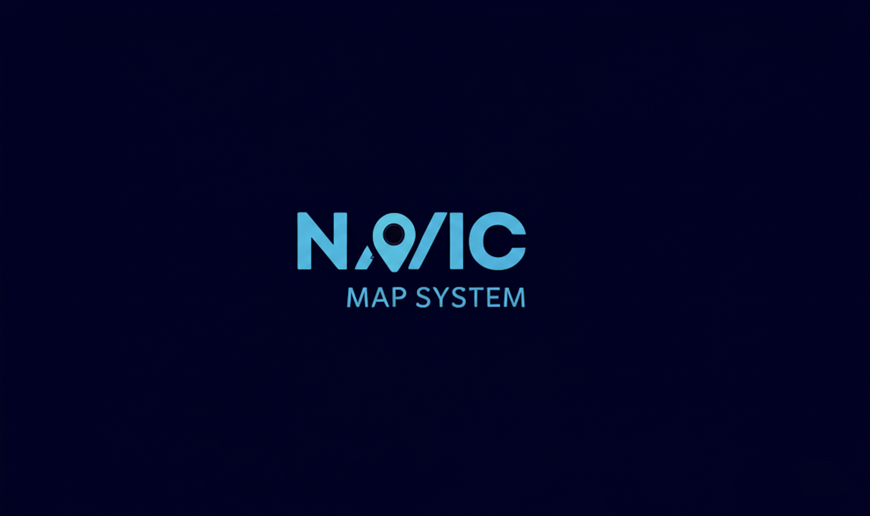
NavIC Navigation System
A precision navigation system leveraging India's NavIC satellite constellation for accurate positioning and timing. Provides indigenous GPS alternative with enhanced coverage over Indian subcontinent.

Flood Watch
A comprehensive flood monitoring and prediction system using satellite imagery and weather data analysis. Provides early warning alerts to communities at risk and assists in disaster preparedness and response planning.
Our Team
Meet the passionate individuals behind the Geospatial Club who are dedicated to fostering a community of geospatial enthusiasts.
Join the Geospatial Community
Be part of a growing community of geospatial enthusiasts. Learn new skills, work on exciting projects, and connect with like-minded individuals.
Become a Member